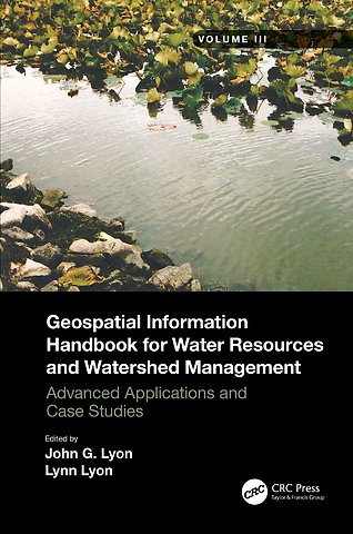
Geospatial Information Handbook for Water Resources and Watershed Management, Volume III
Advanced Applications and Case Studies
Gebonden Engels 2022 9781032006550Samenvatting
Volume III of Geospatial Information Handbook for Water Resources and Watershed Management discusses water and watershed issues such as water quality, evapotranspiration, water resource management, and ecological services.
Featured is a two-stage ditch and river geomorphology case study section with related water geospatial applications, including historical image analyses of floodplains and channels and resulting change in river geomorphology through erosion and transport and influence on dependent vegetation communities.
Captures advanced Geospatial Technologies (GT) and their applications to address a wide spectrum of water issues
Provides real-world two-stage ditch and river geomorphology case studies using river, stream and channel measures and change models, and bankfull discharge modeling
Global in coverage with applications demonstrated by more than 170 experts in water sciences and two-stage ditch and river geomorphology
This handbook is a wide-ranging and contemporary reference of advanced geospatial techniques used in numerous practical applications at the local and regional scale and is an in-depth resource for professionals and the water research community worldwide.
Specificaties
Lezersrecensies
Inhoudsopgave
Rubrieken
- advisering
- algemeen management
- coaching en trainen
- communicatie en media
- economie
- financieel management
- inkoop en logistiek
- internet en social media
- it-management / ict
- juridisch
- leiderschap
- marketing
- mens en maatschappij
- non-profit
- ondernemen
- organisatiekunde
- personal finance
- personeelsmanagement
- persoonlijke effectiviteit
- projectmanagement
- psychologie
- reclame en verkoop
- strategisch management
- verandermanagement
- werk en loopbaan