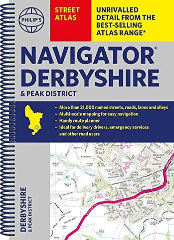
Philip's Navigator Street Atlas Derbyshire and the Peak District
Ringband EN 2023 9781849076371Samenvatting
THE ONLY COUNTY STREET ATLAS WITH ALL THE NAMED STREETS OF DERBYSHIRE.
The UK's best-selling county street atlases
More than 24,000 named streets, roads, lanes and alleys
The essential map book for residents and visitors - and if you're moving to Derbyshire
Includes all the streets in BUXTON, CHESTERFIELD, DERBY, LONG EATON, MATLOCK, SWADLINCOTE, Alfreton, Ashbourne, Bakewell, Belper, Bolsover, Brimington, Chapel-en-le-Frith, Clay Cross, Clowne, Dronfield, Eckington, Glossop, Heanor, Ilkeston, New Mills, Pinxton, Ripley, Shirebrook, South Normanton, Staveley, Whaley Bridge, Wirksworth
- New edition in practical spiral-bound format
- Street maps show car parks, schools, hospitals and many other places of interest, even ones off the beaten path
- 4-page practical route-planning section showing all A and B roads
- Super-clear mapping
- Easy-to-use index
- Scales: 1¾ inches to 1 mile (1:36,000) and 3½ inches to 1 mile (1:18,000). Major towns: 7 inches to 1 mile (1:9,000).
Other information on the maps includes postcode boundaries, car parks, railway and bus stations, post offices, schools, colleges, hospitals, police and fire stations, places of worship, leisure centres, footpaths and bridleways, camping and caravan sites, golf courses, and many other places of interest.
Specificaties
Lezersrecensies
Rubrieken
- advisering
- algemeen management
- coaching en trainen
- communicatie en media
- economie
- financieel management
- inkoop en logistiek
- internet en social media
- it-management / ict
- juridisch
- leiderschap
- marketing
- mens en maatschappij
- non-profit
- ondernemen
- organisatiekunde
- personal finance
- personeelsmanagement
- persoonlijke effectiviteit
- projectmanagement
- psychologie
- reclame en verkoop
- strategisch management
- verandermanagement
- werk en loopbaan