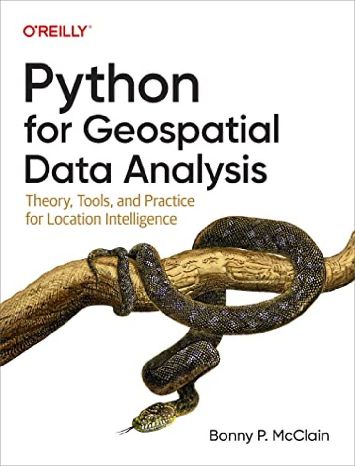
Python for Geospatial Data Analysis
Theory, Tools, and Practice for Location Intelligence
Paperback Engels 2022 1e druk 9781098104795Samenvatting
In spatial data science, things in closer proximity to one another likely have more in common than things that are farther apart. With this practical book, geospatial professionals, data scientists, business analysts, geographers, geologists, and others familiar with data analysis and visualization will learn the fundamentals of spatial data analysis to gain a deeper understanding of their data questions.
Author Bonny P. McClain demonstrates why detecting and quantifying patterns in geospatial data is vital. Both proprietary and open source platforms allow you to process and visualize spatial information. This book is for people familiar with data analysis or visualization who are eager to explore geospatial integration with Python.
This book helps you:
- Understand the importance of applying spatial relationships in data science
- Select and apply data layering of both raster and vector graphics
- Apply location data to leverage spatial analytics
- Design informative and accurate maps
- Automate geographic data with Python scripts
- Explore Python packages for additional functionality
- Work with atypical data types such as polygons, shape files, and projections
- Understand the graphical syntax of spatial data science to stimulate curiosity
Specificaties
Lezersrecensies
Inhoudsopgave
Conceptual Framework for Spatial Data Science
Places as Objects (Points, Lines, and Polygons)
Evaluating and Selecting Data
2. Essential Facilities for Spatial Analysis
Understanding Spatial Relationships
Spatial Literacy
Mapping Inequalities
Data Resources
3. QGIS: Python for Spatial Analytics
Exploring the QGIS workspace
The Python plugin
Accessing the data
Working with layer panels
Web Feature Service (WFS)
Discovering attributes
Summary
Resources
4. Geospatial Analytics in the Cloud: Google Earth Engine and Other Tools
Why Geospatial Analytics in the Cloud?
Using the GEE Code Editor and Geemap
Setup and Installation
Creating a Conda Environment
Navigating Geemap
Basemaps
LANDSAT 9
The National Land Cover Database Basemap
Accessing the Data
Building a custom legend
Leafmap: An Alternative to Google Earth Engine
Summary
Resources
5. OpenStreetMap: Accessing Geospatial Data with OSMnx
Tags
A Conceptual Model of Open Street Map
Installing OSMnx
Choosing a location or place
Explore the Code to Understand Arguments
Calculating Travel Times
Basic Statistical Measures
Customizing Your Neighborhood Maps
Geometries from place
Geometries from address
Conclusion
6. ArcGIS Python API
How does the ArcGIS Python API work?
Installing ArcGIS API and Python Distribution with Conda
Connecting to the ArcGIS Python API
Exploring Imagery Layers: Urban Heat Island Maps
Raster functions
Exploring Image Attributes
Improving Images
Comparing a location over multiple points in time
Filtering layers
Conclusion
7. Geopandas and spatial statistics
Installing Geopandas
Working with GeoJSON files
Creating a GeoDataFrame
Working with US Census Data and Cenpy: Washington, DC, Demographic Map
The Python Spatial Analysis Library: Comparing Urban Segregation of Hispanic Populations in Two Cities
Tool Tip
Conclusion
8. Data Cleaning
Checking for Missing Data
Uploading to Colab
Nulls and non-nulls
Data types
Metadata
Summary Statistics
Replacing missing values
Visualizing data with Missingno
Mapping patterns
Latitude and Longitude
Shapefiles
Conclusion
About the Author
Anderen die dit boek kochten, kochten ook
Rubrieken
- advisering
- algemeen management
- coaching en trainen
- communicatie en media
- economie
- financieel management
- inkoop en logistiek
- internet en social media
- it-management / ict
- juridisch
- leiderschap
- marketing
- mens en maatschappij
- non-profit
- ondernemen
- organisatiekunde
- personal finance
- personeelsmanagement
- persoonlijke effectiviteit
- projectmanagement
- psychologie
- reclame en verkoop
- strategisch management
- verandermanagement
- werk en loopbaan


