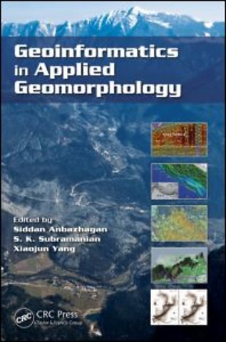
Geoinformatics in Applied Geomorphology
Gebonden Engels 2011 9781439830482Samenvatting
With recent innovations in the arena of remote sensing and geographic information systems, the use of geoinformatics in applied geomorphology is receiving more attention than ever. Geoinformatics in Applied Geomorphology examines how modern concepts, technologies, and methods in geoinformatics can be used to solve a wide variety of applied geomorphologic problems, such as characterization of arid, coastal, fluvial, aeolian, glacial, karst, and tectonic landforms; natural hazard zoning and mitigations; petroleum exploration; and groundwater exploration and management.
Using case studies to illustrate concepts and methods, this book covers:
Arid environments, such as the Thar desert, West Texas, the Qatar Peninsula, and the Dead Sea areas Coastal shoreline changes in KuwaitCoastal zone management in IndiaEstuarine bathymetric study of Tampa Bay, FloridaFluvial landforms of the Elbe river basin, GermanySubsurface coastal geomorphology and coastal morphological changes due to tsunamis in the East coast of IndiaThe Himalayas, Jammu & Kashmir, Western Ghats, and Precambrian terrain of South India
The result of extensive research by an interdisciplinary team of contributors, Geoinformatics in Applied Geomorphology is designed for students, researchers, and professionals in the areas of geomorphology, geological engineering, geography, remote sensing, and geographic information systems.
Specificaties
Lezersrecensies
Inhoudsopgave
Rubrieken
- advisering
- algemeen management
- coaching en trainen
- communicatie en media
- economie
- financieel management
- inkoop en logistiek
- internet en social media
- it-management / ict
- juridisch
- leiderschap
- marketing
- mens en maatschappij
- non-profit
- ondernemen
- organisatiekunde
- personal finance
- personeelsmanagement
- persoonlijke effectiviteit
- projectmanagement
- psychologie
- reclame en verkoop
- strategisch management
- verandermanagement
- werk en loopbaan