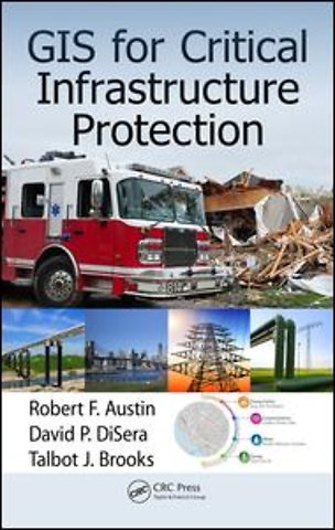
GIS for Critical Infrastructure Protection
Gebonden Engels 2015 1e druk 9781466599345Samenvatting
GIS for Critical Infrastructure Protection highlights the GIS-based technologies that can be used to support critical infrastructure protection and emergency management. The book bridges the gap between theory and practice using real-world applications, real-world case studies, and the authors’ real-world experience. Geared toward infrastructure owners and first responders and their agencies, it addresses gaps in the response, recovery, preparedness planning, and emergency management of large-scale disasters. It also explains the first principles of CIP, introduces the basic components of GIS, and focuses on the application of GIS analysis to identify and mitigate risk and facilitate remediation. In addition, it offers suggestions on how geospatial and emergency response communities can come together—and with combined knowledge—work toward viable solutions for future improvements.
Provides a narrative of critical lessons learned through personal experience during the response to Hurricane Katrina Contains examples demonstrating how geospatial technologies may be applied to fire service Summarizes lessons learned from ten community collaboration studies
GIS for Critical Infrastructure Protection serves as a reference for infrastructure owner’s police, fire, paramedics, and other government agencies responsible for crisis and emergency response, and critical infrastructure protection. The book benefits first responders and infrastructure owners working to ensure the continued safety and operability of the nation’s infrastructure.
Specificaties
Lezersrecensies
Rubrieken
- advisering
- algemeen management
- coaching en trainen
- communicatie en media
- economie
- financieel management
- inkoop en logistiek
- internet en social media
- it-management / ict
- juridisch
- leiderschap
- marketing
- mens en maatschappij
- non-profit
- ondernemen
- organisatiekunde
- personal finance
- personeelsmanagement
- persoonlijke effectiviteit
- projectmanagement
- psychologie
- reclame en verkoop
- strategisch management
- verandermanagement
- werk en loopbaan